Kaisaroupoli - Gilan Kule #1311

- Purpose
- Excursion
- Type
- Castle
- Country
- Greece
- City
- Myrkinos
- Zip code
- 620 52
Share links
Description
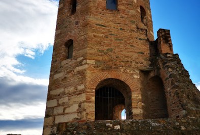
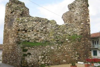
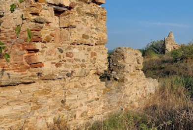
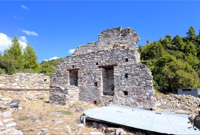
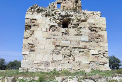
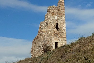
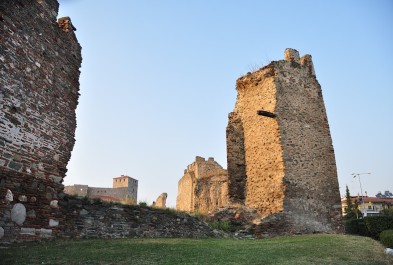
The castle stands in the middle of a plain on riverside low ground at an elevation of about 10 to 20 meters. The hill is currently used as arable land, and the Aggitis River flows approximately 80-100 meters east of the castle, joining the Strymon River about 2.5 kilometers downstream.
The site consists of a raised, trapezoidal hill with a higher, steeper section on its southern side, reaching a peak height of 20 meters. However, the hill’s surroundings looked very different in the past. In the lower part of the Strymon Valley, there was once Lake Achinos, which dried up in the early 1930s.
This lake altered the terrain around the fortified city of Kaisaroupolis. The hill was often encircled by lake waters or marshy ground, making it naturally inaccessible for much of the year. Historical maps show this change in landscape: a 19th-century Austrian map labels the hill as "Yilan Kalesi" with marshland around it, and the waters of the Aggitis flowing to the west. Similarly, a 1927 map refers to the lake as Lake Tahinus (or Achinus).