Pontikokastro #1287
- Purpose
- Excursion
- Type
- Castle
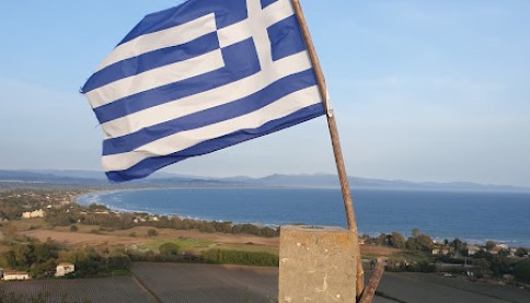
- Country
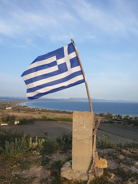
- Greece
- City
- Katakolo
- Zip code
- 270 67
Share links
Description
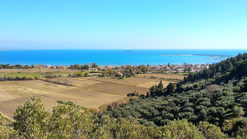
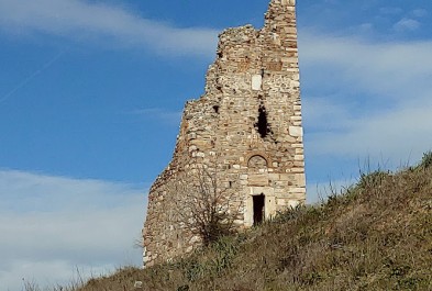
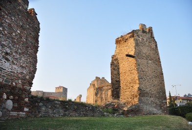
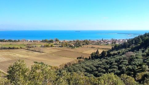
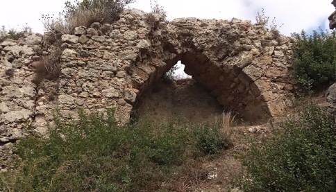
The castle was constructed on the site of a pre-existing Byzantine fortress and the acropolis of the ancient city of Feia.
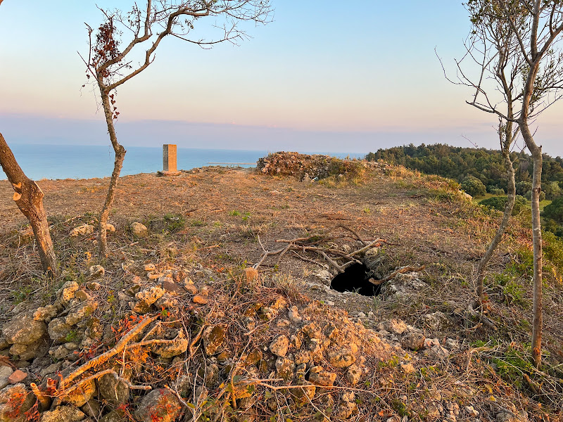
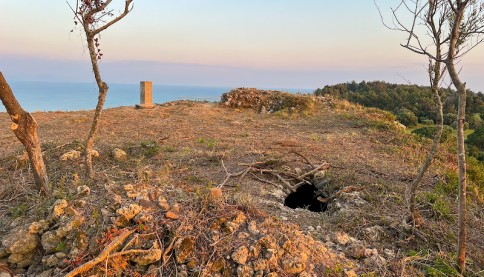
The castle was likely destroyed by the Turks in 1460, and today only a few ruins remain.
The Name of the Castle
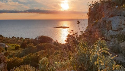
The Franks named it "Beauvoir," later known as "Bel Vedere," both of which mean "beautiful view." In Byzantine times, it was called "Pontikon," while in the Ottoman period it was known as "Pontikokastro," which translates to "mouse castle." This name may have been inspired by the shape of the structure, although "Pontikon" could also mean "by the sea."
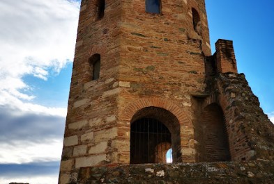
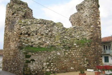
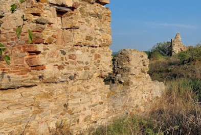
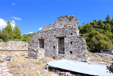
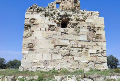
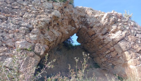
Structure, Fortification & Buildings
The castle’s plateau covers approximately 0.005 square kilometers, with a maximum length of 90 meters (north-south) and width of 55 meters (east-west). The plateau is flat, with an elevation of 55 meters.
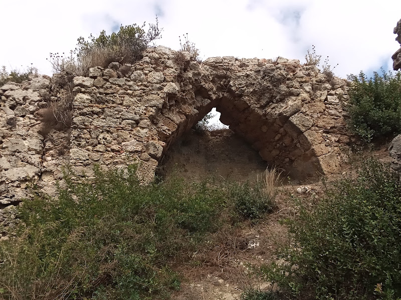
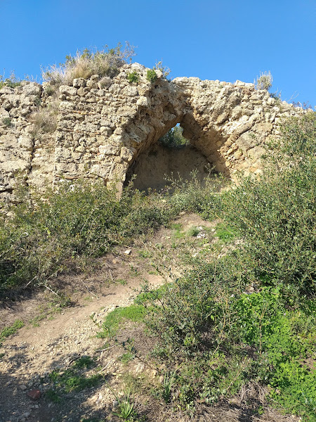
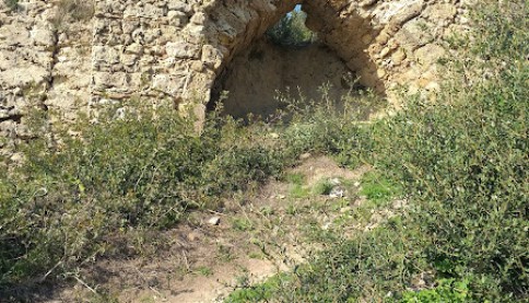
Only a few remnants of the castle are still visible, and much of the site is obscured by dense vegetation. The most prominent feature is a solid square tower (8.40 m x 8.50 m) on the northwest side, which may date back to the Byzantine period before 1204.